Map website
The Garðabær map website is your tool for exploring and understanding Garðabær. You can easily search for maps, property boundaries, and information about the local area.
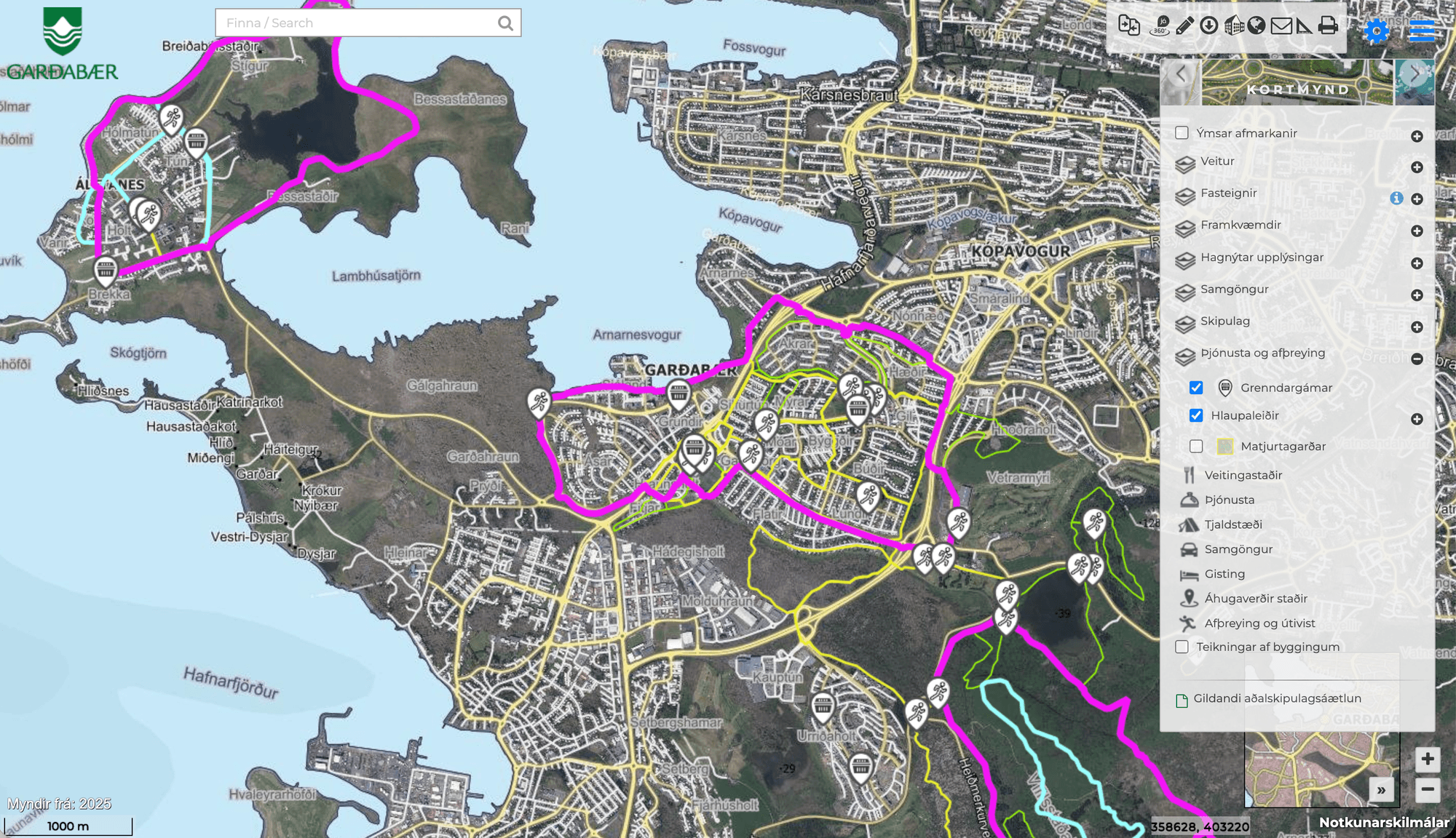
What can you see on the map website?
On the map website you can see, among other things:
- benches and walkways
- electric charging stations
- pipe location
- snow removal priorities
- antiquities
- drawings of all the houses in Garðabær
- the town's implementation plan for each year
- planning issues that are in progress
The map website contains much more than this. Take a look at the map and see what else interesting things are hidden in the townland!
How to use the map website?
In the menu on the right, you can open the categories you want to view and check the information you want to see on the map.
Above the menu are more options, such as:
- Use a measuring stick to measure distances on the map.
- Travel back in time and view aerial photos of the town back to 1966 and compare them to other years.
Find blueprints of houses
- Zoom in on the map until you can see the property clearly. You can double-click on the map or press the plus button in the bottom right several times.
- Check in Drawings of buildings at the bottom of the menu.
- Select the desired house.