Outdoors and nature
In Garðabær you will find a variety of outdoor recreation areas that you can enjoy all year round.
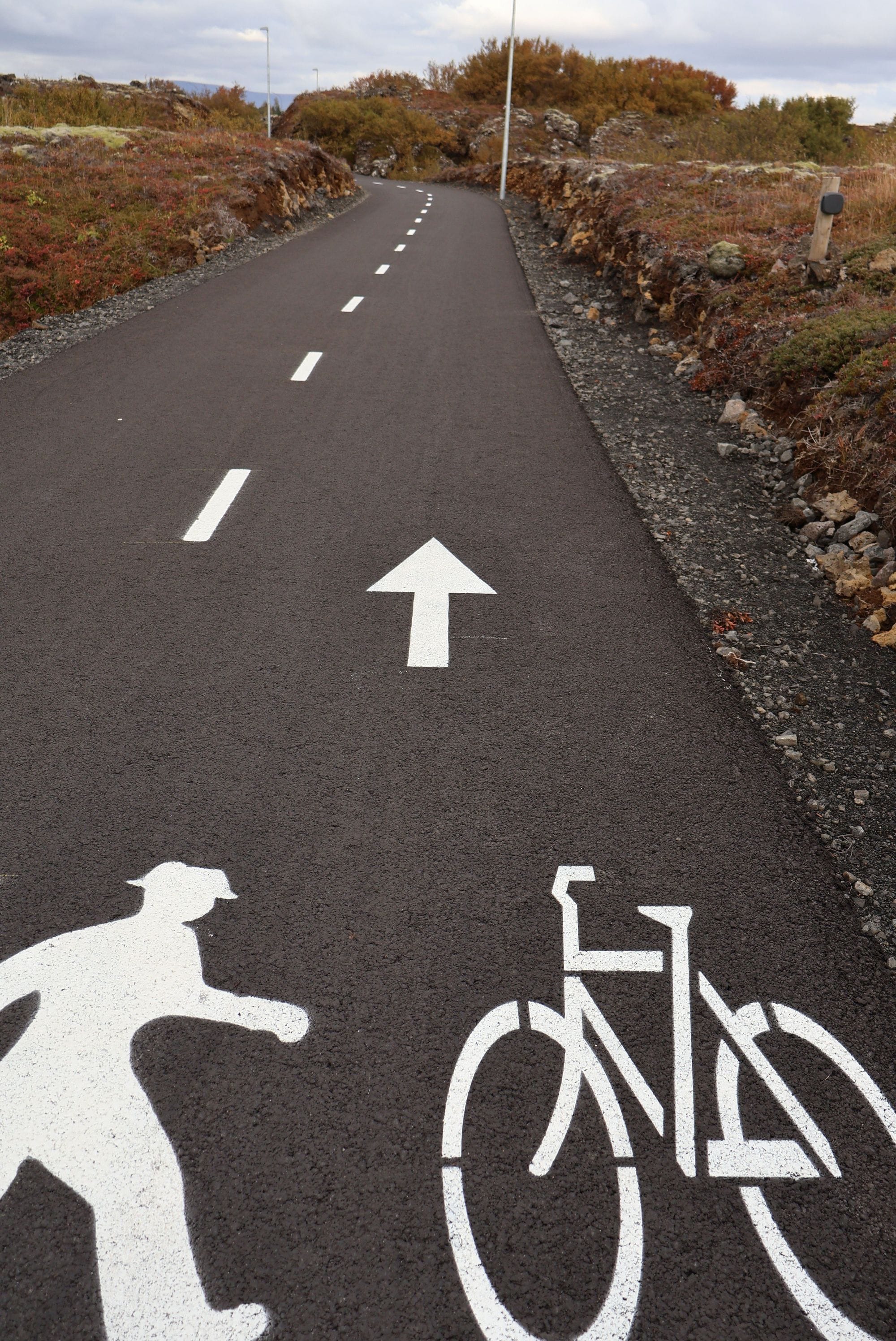
Bicycle and walking paths
In Garðabær there are numerous bicycle and walking paths that are part of Garðabær's transportation network but also connect the town to neighboring municipalities. On the map website you can see a map of the town's paths. There you can also choose your own route and measure distances and view daily numbers from bicycle and walking counters that are located in several places in the town
Interesting hiking trails in Garðabær
Here you can find information about some fun hiking trails in Garðabær.
Hiking trails in Gardabaer
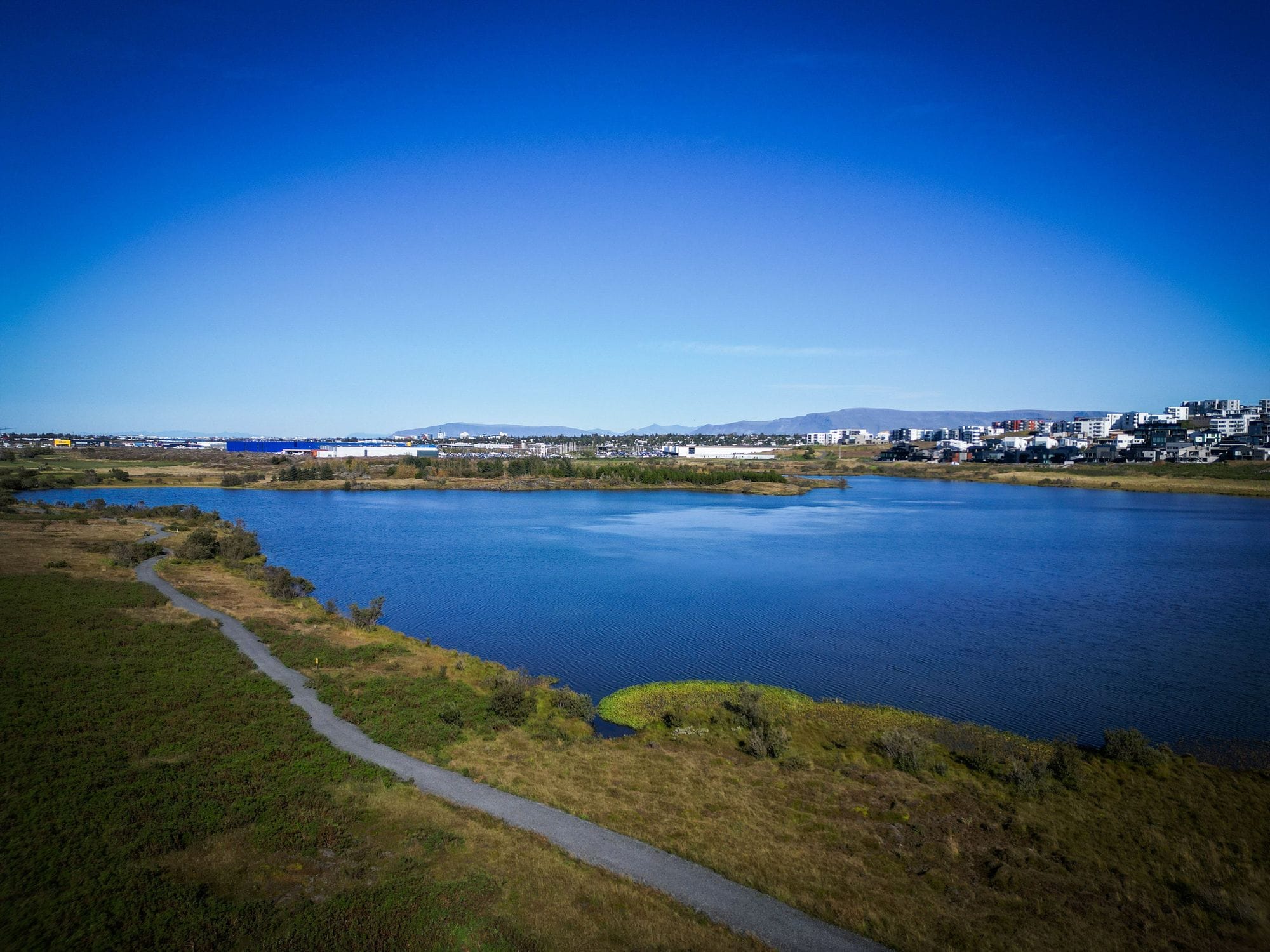
Gravel path around the lake for about 2.6 km, there are three access points on various car parks. The lake and its surroundings were declared a protected area in 2007. The reserve's ornamental bird is the pelican, an attempt was made to set up nesting sites for the pelicans in the spring. The number of pelicans on the lake has increased every year. Dogs are prohibited in the reserve during the nesting season. Fishing permits in the lake are valid from April 1 to September 15. A hiking trail from the reserve leads up to Grunnuvötn via Grunnavatnsskarð.
A gravel path runs through a wooded area up the hillside, from the parking lot at Mariuvell on Elliðavatnsvegur. There are more parking lots and outcroppings along Heiðmerkurvegur. In the middle of the hillside, opposite the high-voltage pylon, there is a possibility to turn off the path and cross over to the Urriðakotshraun lava field.
A gravel path runs along a lava flow that is a continuation of the Selgjá River. An interesting outdoor trail through the lava (circle of Maríuvellir, Vífilsstaðahlíð, Urriðakotshraun, Maríuhellar). Maríuhellar was declared a protected area in 2014, former cattle caves from Vífilsstaðir and Urriðakot. There is an educational sign about the caves.
A paved path, a round trip, is just over 3 km to the footbridge over Oddsmýrarlækur and back, a marked path is south of the lake. Birdlife is diverse. Peaceful even though the settlement of Urriðaholt is close by.
A gravel path north of the lake over Hrauntangan in Setbergsland is part of a circular route around Urriðavatn.
In early summer 2024, a new path was opened in the birch forest of Vífilsstaðahraun, between Urriðaholtsstræti and the underpasses at Vífilsstaðir, just east of Reykjanesbraut. The path is three meters wide and over a kilometer long. It is illuminated and paved for pedestrian and bicycle traffic within the lava field.
Vífilsstaðahraun is a protected area. The aim of the protection is to protect the landscape of the lava field and to protect this valuable outdoor recreation area in an urban area.
There is an old trail from Vífilsstaðir over a stone bridge at Vatnsmýri. Called Berklastígur or Jónshellnastígur, the cave at the end of the trail inside the lava field is a former cattle cave. A gravel path follows the stream between the underpasses of Reykjanesbraut and Elliðavatnsvegur, it often gets blocked in the winter.
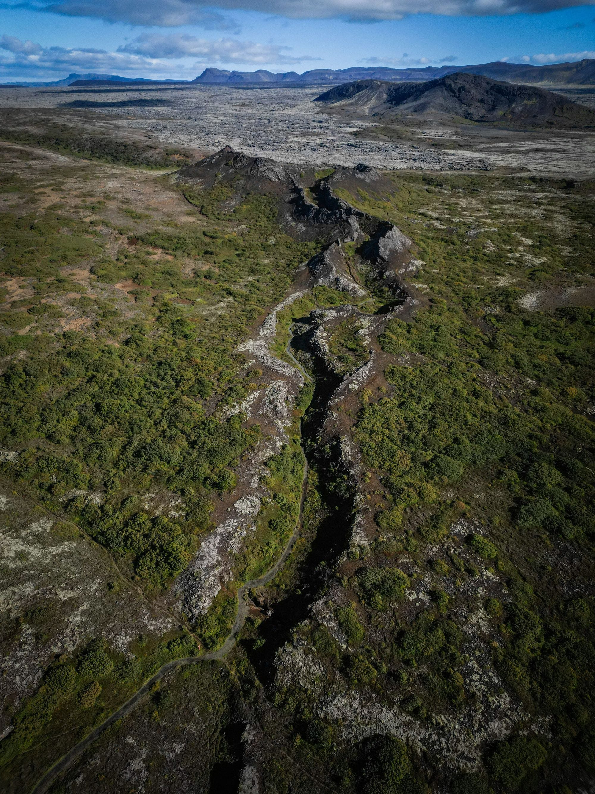
A gravel path runs along the length of Búrfellsgjá, where the walk to Búrfell ends, on the edge of the crater of the volcano that created the ravines and Búrfellshraun. The trail begins at a good parking area at the end of Heiðmerkurvegur. An educational sign is located at the steps down Hjallamisgengið. Gjáarétt and gerdi are in the northernmost part of the ravine, along with Vatnsgjá, an old water source.
Trails run through the ravine between relics of a former herding farm. The ravine bottom is well-vegetated and steep. Access is via a parking area at the end of Heiðmerkurvegur, with an educational/historical sign.
There are numerous gravel paths into the forest, two parking spaces, access from Elliðavatnsvegur north of Vífilsstaðavatn. Numerous benches and resting places in the forest. Map at the entrance. Green forest entrance sign.
Gravel path along a wooded side. Good parking area with access from Elliðavatnsvegur, rest area with playground equipment. Map at the entrance.
A paved, pleasant circular route around Garðahraun was declared a protected area in 2014, accessible from Hagaflöt or north of Kauptúnsbrúr.
It is fun to watch the birdlife and walk along the shore. In spring and autumn, the most colorful are the seagulls.
There is a gravel path along the coast for about 3 km, it is also a bridle path within the sea walls that stretch along the coast. It is possible to get down to the shore at Sandvík and Seyla. Diverse birdlife all year round. There is a car park at Kasthúsatjörn where there is a bird sign, it is also possible to park cars at Seyla.
Walk along the flood defences that dammed Bessastaðatjörnin, the area was previously called Dugguós. There is an educational sign at the Skansinn about the history of the place. To walk out to the historic Skansinn, whether the tour starts at Bessastaði or Seylan, you walk along Bessastaðatjörnin.
Ancient trails Fógetastígur and a marked path lead closer to the beach. Gálgahraun was declared a protected area in 2009. Interesting to walk around and think about the journey of people in clogs through the lava in the past and sit down north of Gálgakletta and look at Bessastaðir and contemplate the history. The beautifully carved coast where the sea enters the coves at high tide. Access at the roundabout on Hraunsholtsbraut to the north, and Garðastekk to the south. There are educational signs about the history and ancient routes.
Protected area in Gardabaer
In Garðabær, a great emphasis is placed on nature conservation so that residents and visitors can enjoy the untouched nature in the local area. About a quarter of the land within the town's jurisdiction is protected or protected, and systematic work is being done to protect more valuable areas.
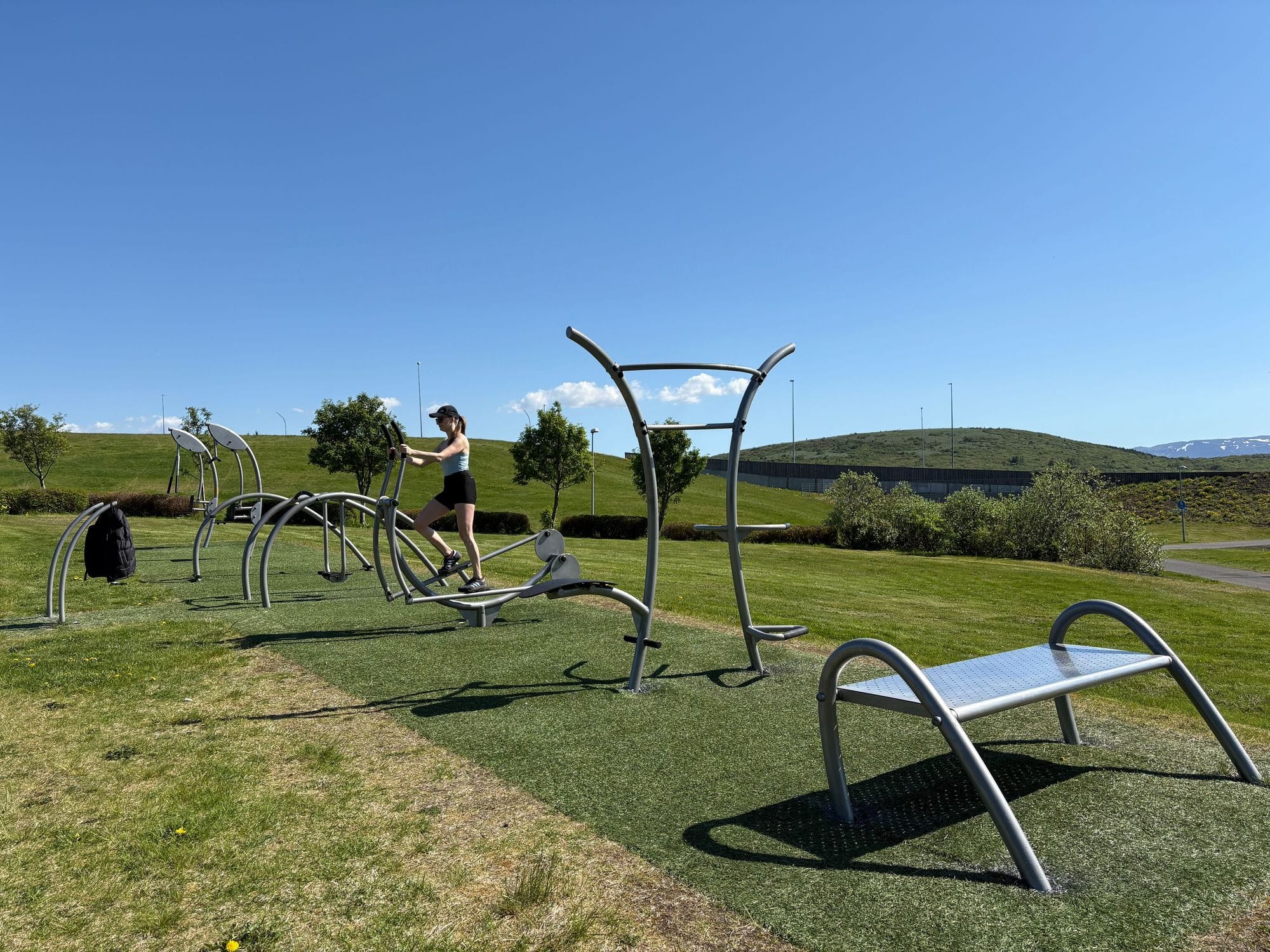
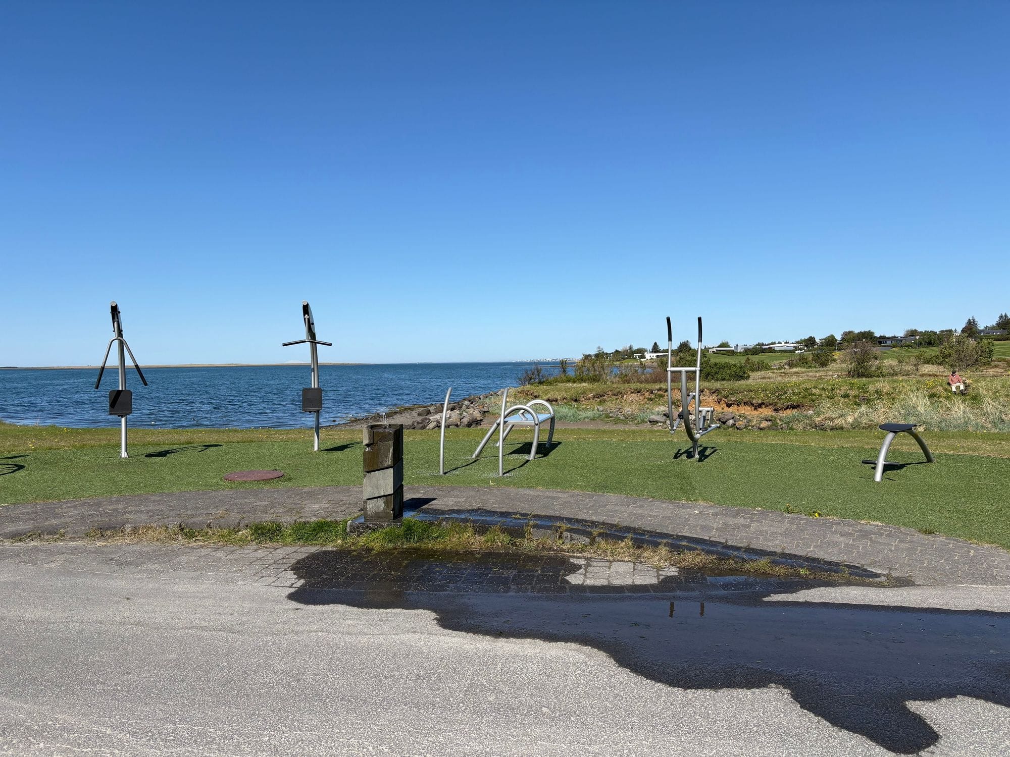
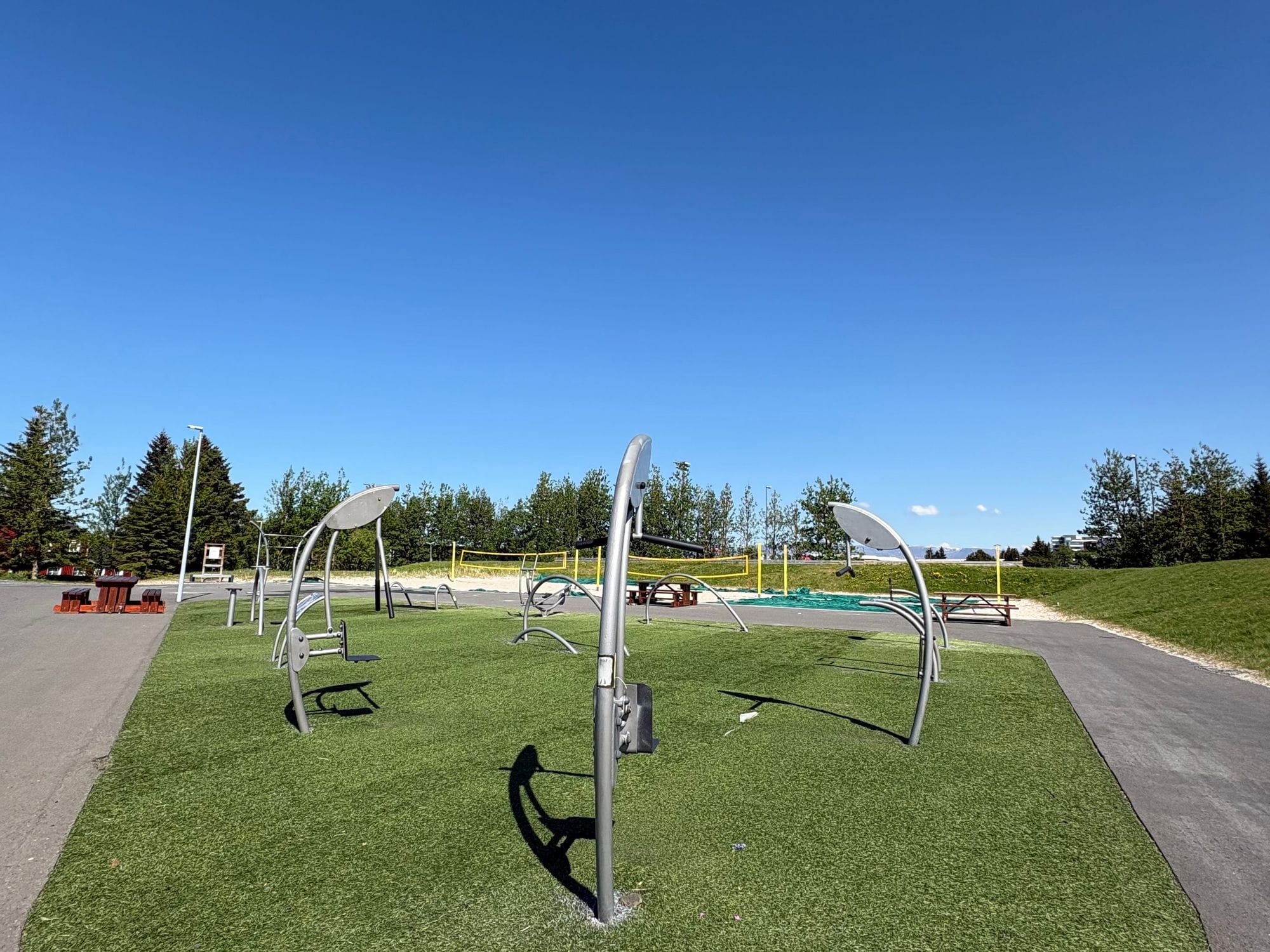
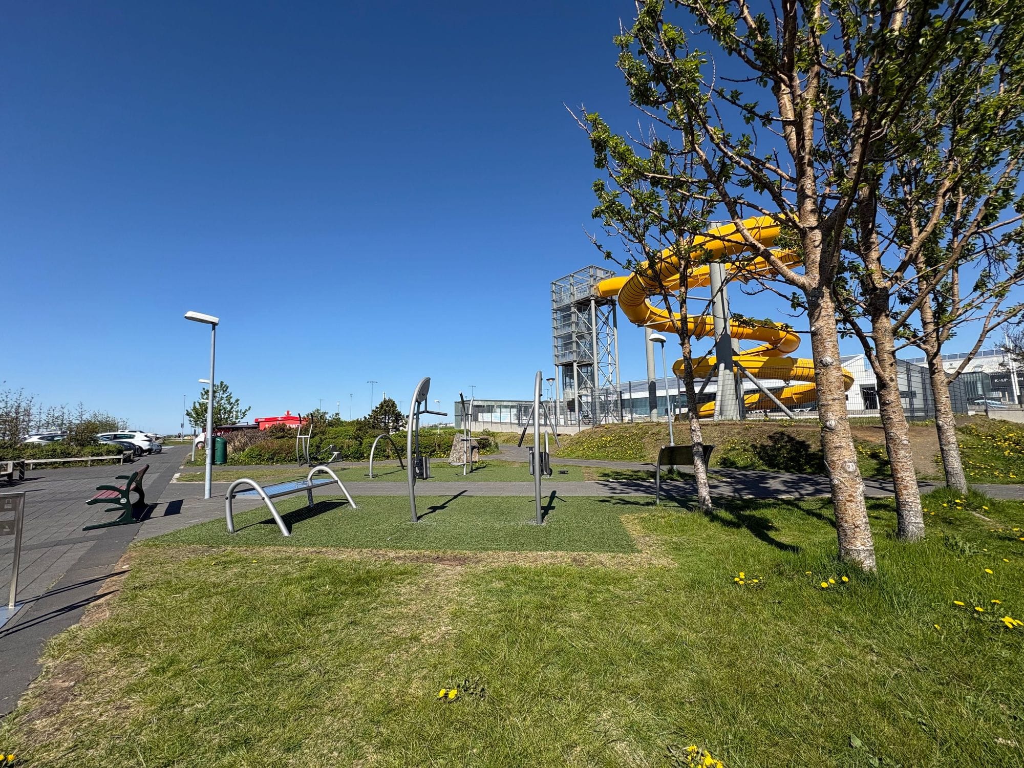
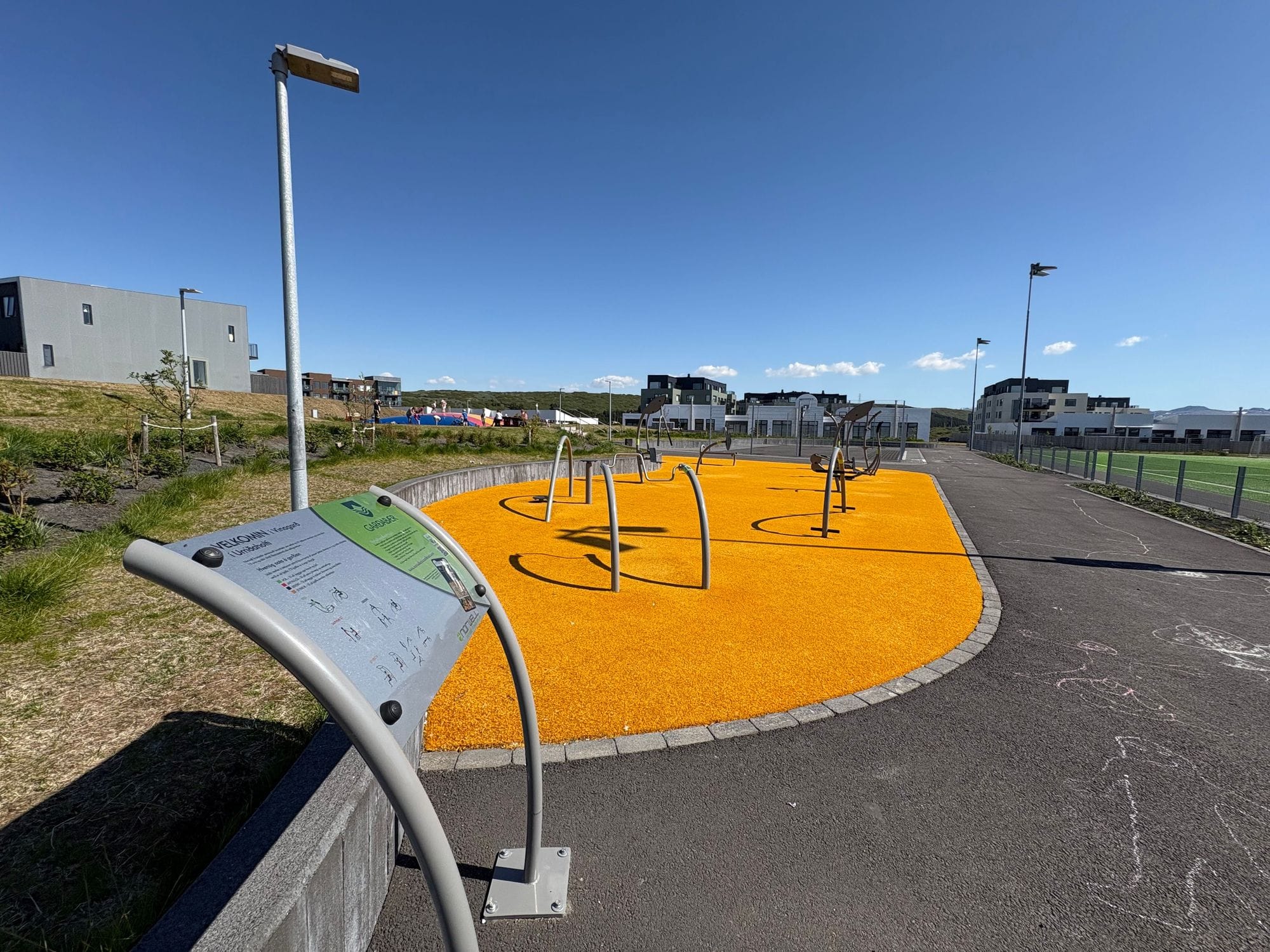
Fitness centers
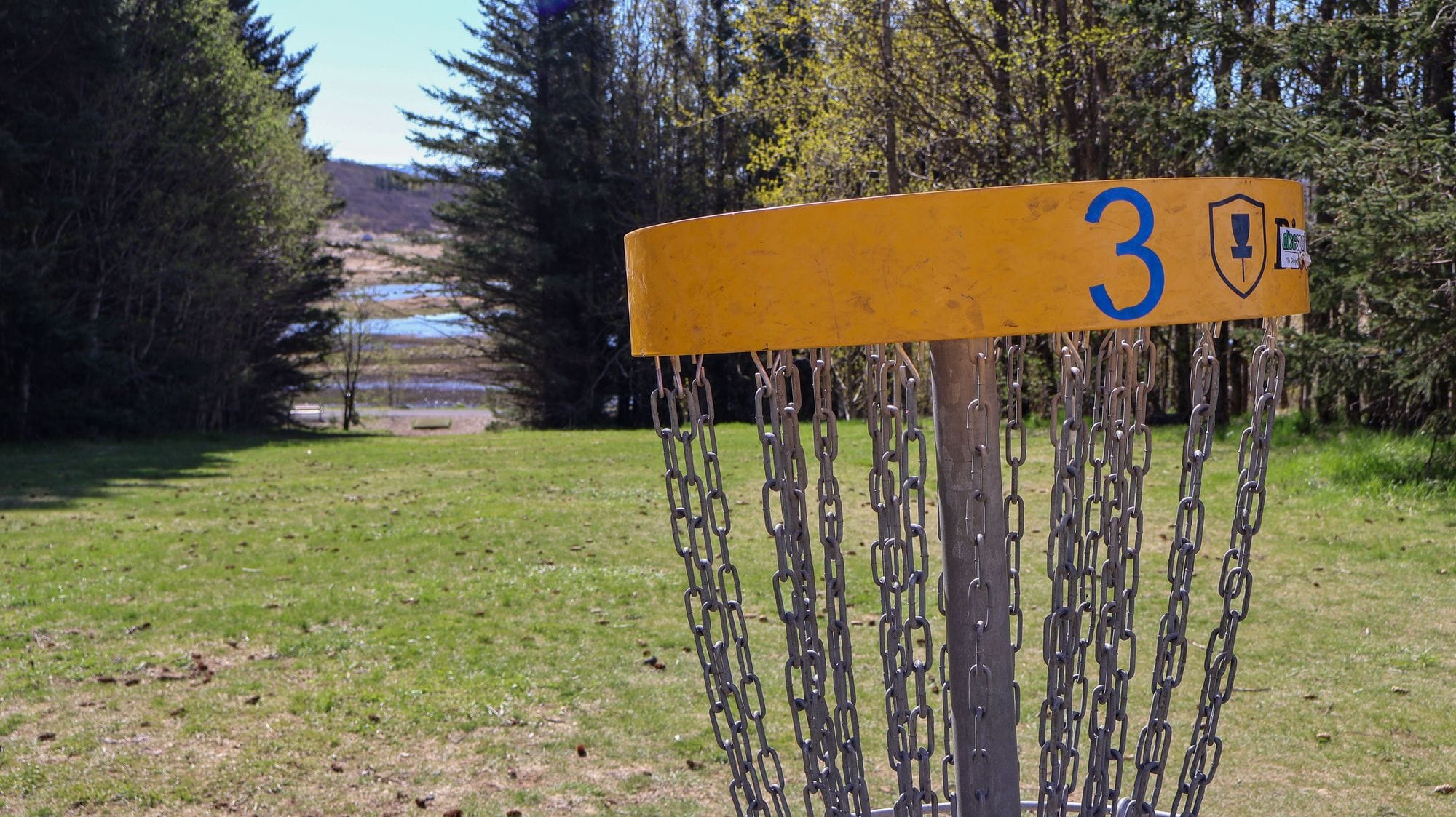
Diverse outdoor activities
In Garðabær you can enjoy a variety of outdoor activities.